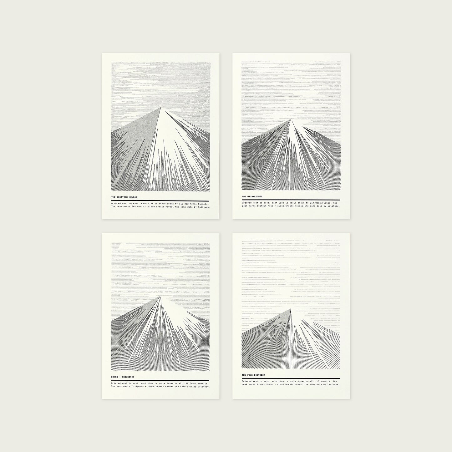
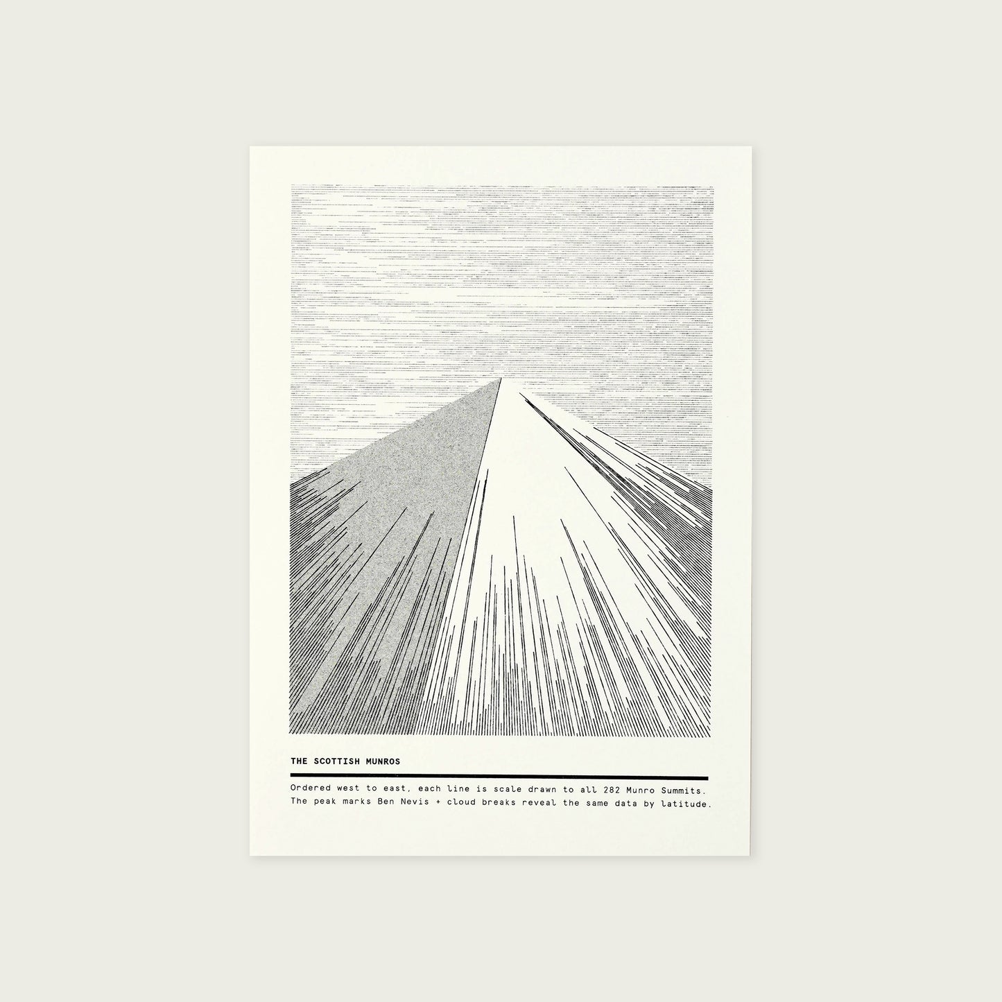
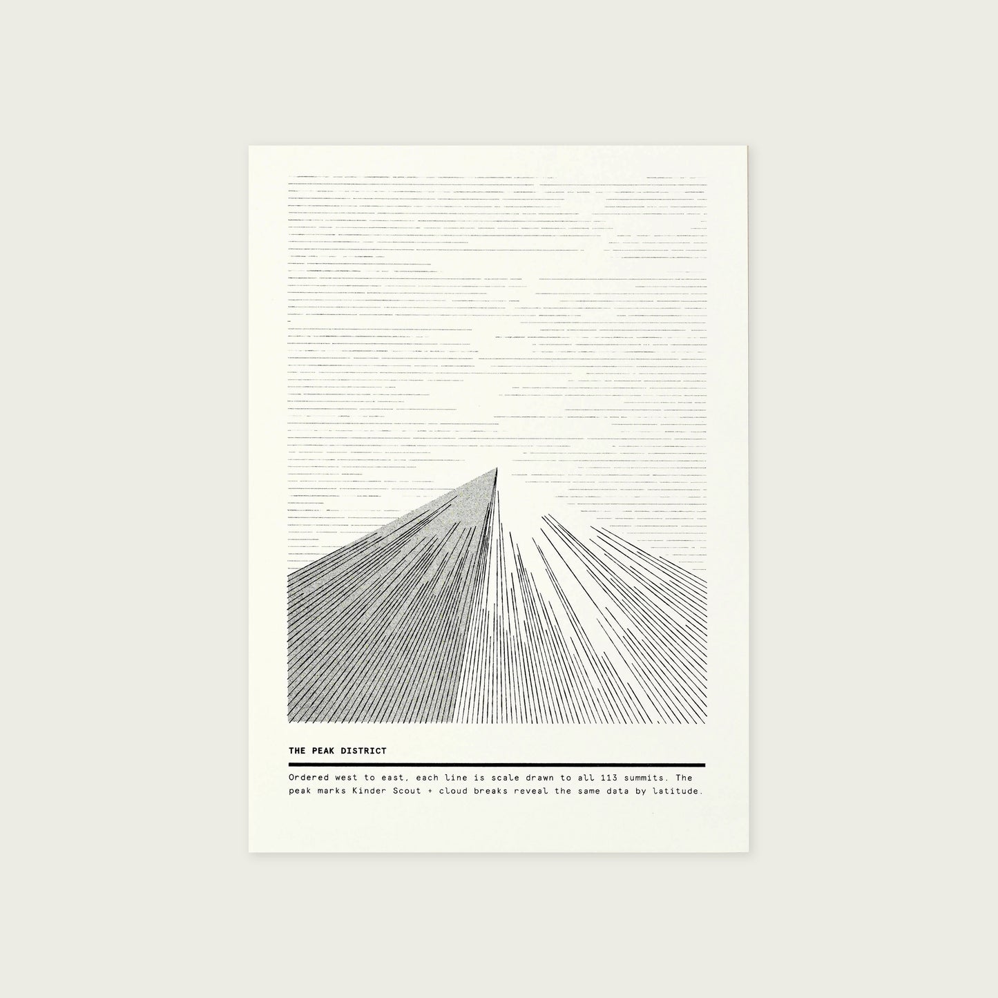
Mapping the summit data of mountain ranges across the British Isles.
I've learned a lot about landscapes having spent many years viewing them through the lens of data.
Particularly mountainous landscapes.
This new series of mountain prints presents the data in its most bare form to illustrate the undulating landscape of four distinct mountain ranges.
Specifications
148mm W x 210mm H (A5) One colour risograph print (black ink) 175gsm Natural Colorplan Paper
Details
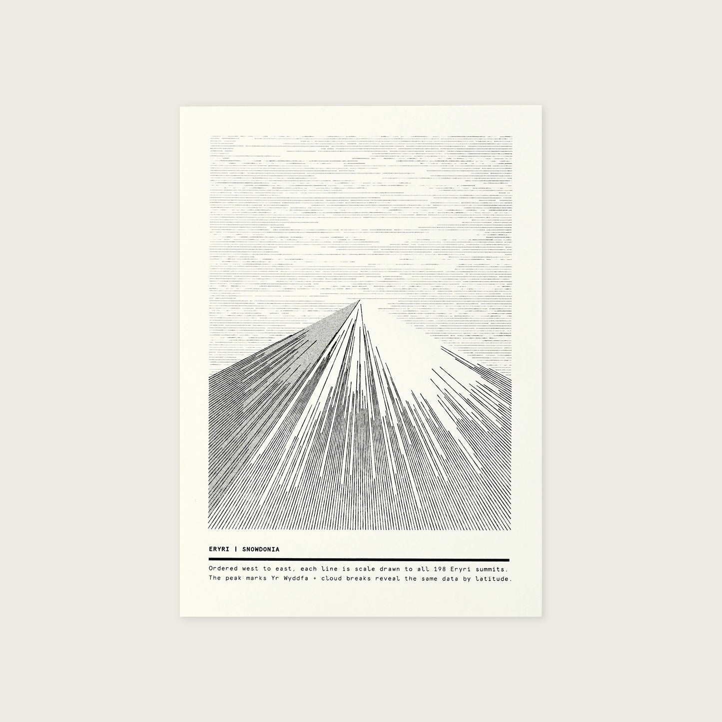
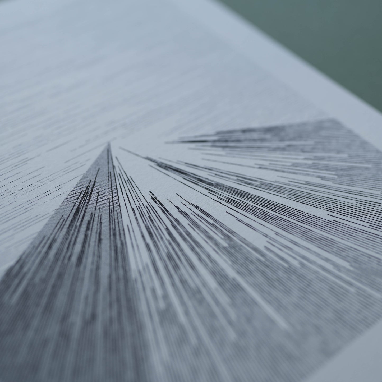
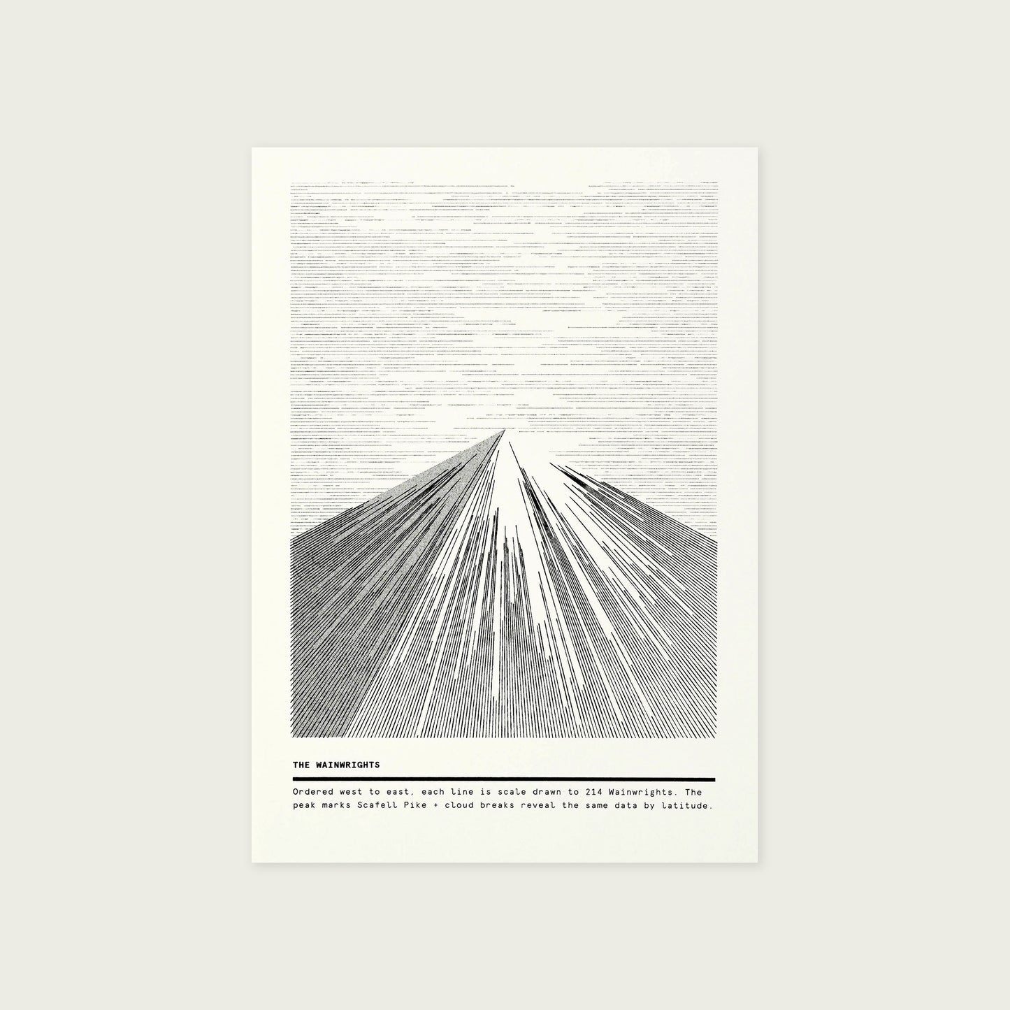
Using data from all the summits within Snowdonia, Scotland, the Peak District and the Lake District, each line represents the height of an individual mountain.
Ordered west to east (left to right), the longer the line, the taller the mountain.
The shading represents the point of the highest peak within the range and each of the four mountains are drawn to the same scale so the overall height can be compared across the series.