Merino Lambswool Coastal Snood
Merino Lambswool Coastal Snood
Couldn't load pickup availability
Weaving wave heights and tidal zones into a Scottish made merino snood.
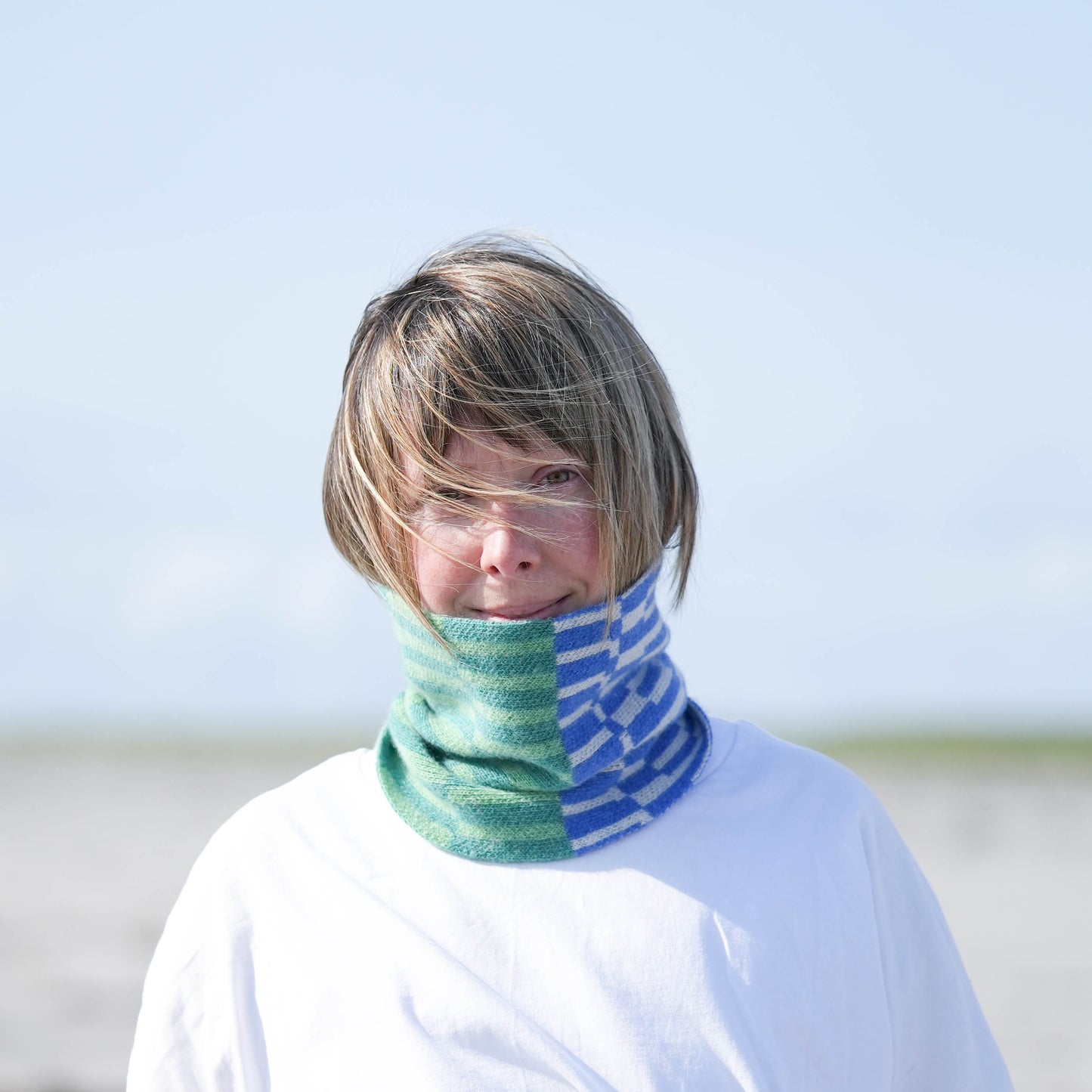
Selecting bays based on shipping forecasts, this snood weaves in elements of the sea from wave heights to intertidal zones. It also has the added bonus of keeping you warm by the coast.
Specification
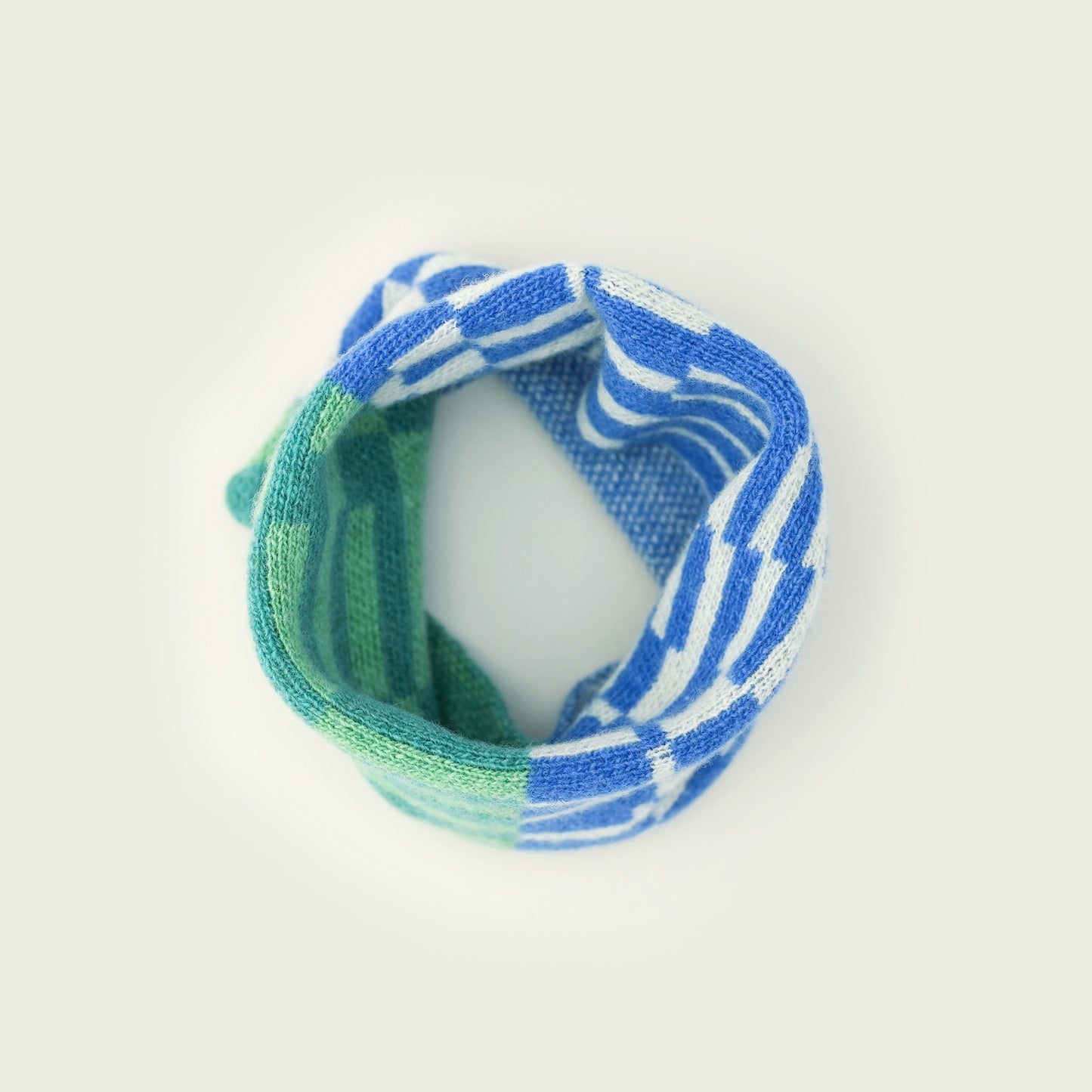
215mm H x 420mm Circumference*
Knitted in small batches in Dundee
100% Merino Wool spun in Huddersfield
Includes a free copy of the wave book
*stretches to 560mm to pull over head
Details
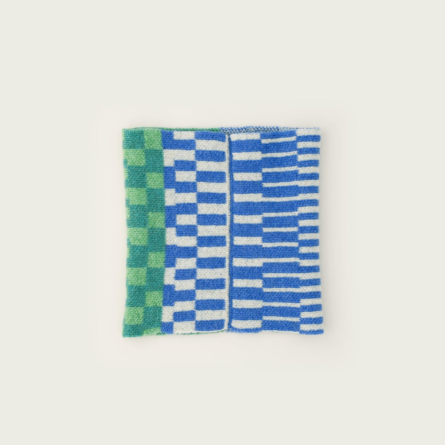
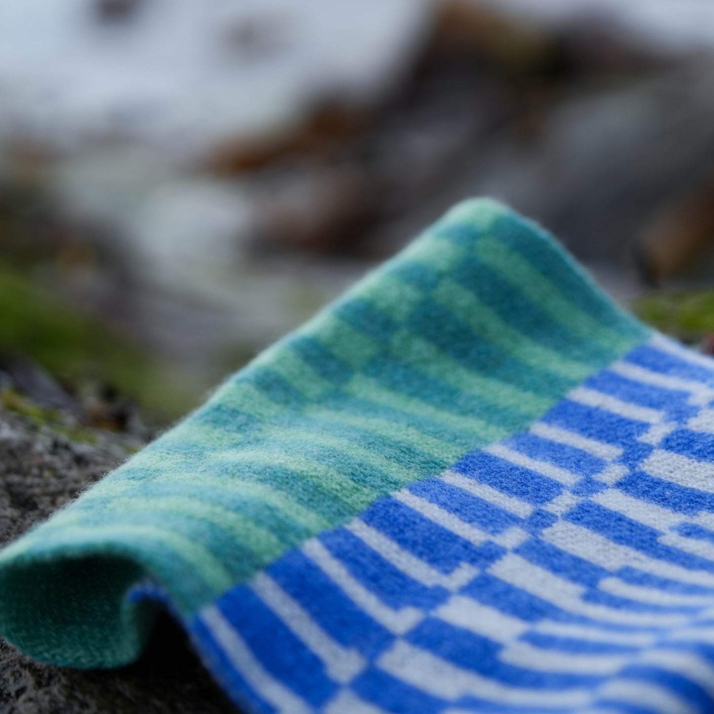
Each strip of the snood represents a different bay, where each bay has been selected from a different shipping forecast area.
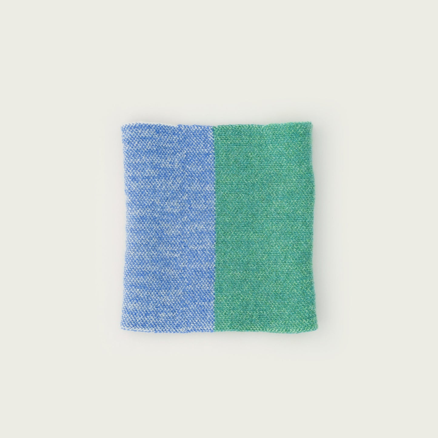
Moving clockwise around the coastline, the blue and white stripes represent beaches on the east side of the British Isles and the greens indicate coves on the west.
The thickness of each strip is scaled to the intertidal zones, so a thin strip means that area has a high tide that is not dissimilar to the low tide on spring tides. Conversely, thick strips mean there is a big difference between the tidal zones.
The thickness of the stripes themselves indicate how big the largest waves are, using hourly data over a 12 year period to calculate the largest consistent waves by shipping area.
So a wide strip with thick stripes means that bay has a large intertidal zone with large waves. These types of conditions seem to appear more frequently on the west coast, based on data observations.
And the design? The design itself takes inspiration from the dazzle patterns of WWI ships. Designed to conceal the movement of the vessels as they were unable to be camouflaged against an ever changing horizon.
The snood comes with an explanation of the design and data along with a book based on the same data showing, wave height, but this time focusing in one place, the outer Hebrides, and showing how the data changes through the seasons.
And to tie it all together, the images taken outside were on a beach on South Uist.
Data Source
Centre for Environment, Fisheries and Aquaculture Science
National Network of Regional Coastal Monitoring